
Site selection for industrial and logistics land, measured site by site.
Territorial analysis for corporate industrial and logistics operators. A private dossier with road, rail and port access measured at each site, and a written reason for every option discarded.
What a territorial decision actually requires
Land use and environmental regime
Classification pulled from the state planning and environmental record, read against the vocation on title
Registry and title traceability
Public registry folio, measurements and boundaries against the deed, liens surfaced, real time to clean title
Multimodal access, road and rail
Frontage on an operating line, the concessionaire, right of way status, feasibility of a siding, and where the site fronts the coast, maritime and port access
Utility feasibility at the lot
Power capacity confirmed with the utility, water rights and the route to a solution, gas distribution presence
Buildable geometry and physical risk
Topography and polygon shape, setbacks, flood and wetland indicators, soil mechanics budgeted and routed to a specialist
Corridor reality
Workforce availability and wage benchmarks, permit timelines confirmed with the office that issues them, dated comparables
What a standard broker delivers
The deliverable is a dossier, and it is paid for
whether or not a site gets bought.
The analysis
How we analyze land for an industrial or logistics project.
Every site gets measured on the same eight axes, whether the brief is a multi option search across a corridor or a single parcel already under negotiation. The axes stay fixed. What changes from project to project is which axis kills the site. The dossier states where each axis stands, what was confirmed, with which office, and on what date.
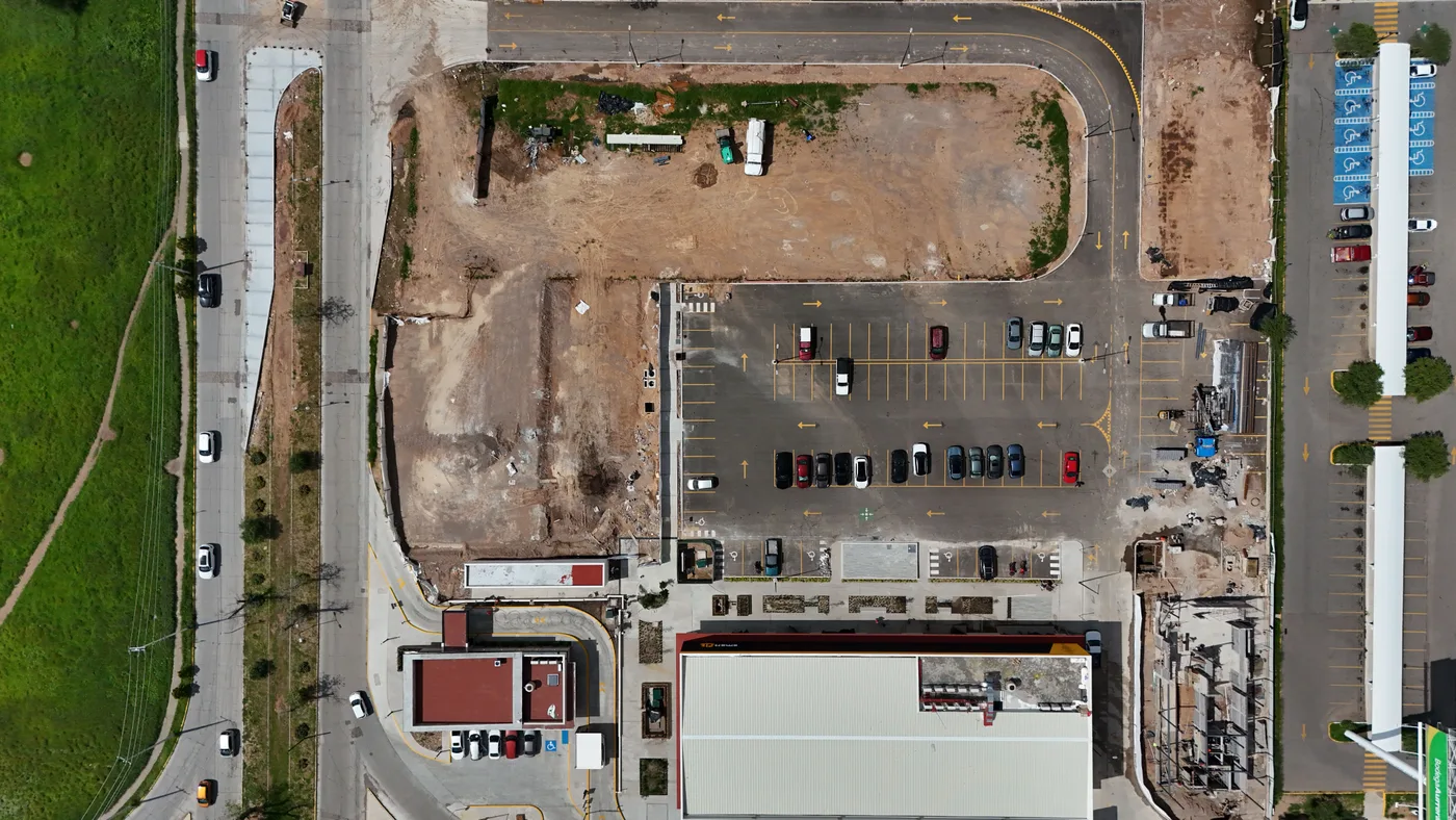
The underwriting framework
An underwriter reads the counterparty, the collateral and the return before capital goes in. On land the collateral is the polygon and the title behind it, and these eight axes are where it gets read.
Land use and environmental regime
Classification pulled from the official state planning and environmental record, with the source and the date next to it. Current use on the ground is read against the vocation stated on title.
Registry traceability
Public registry search on the real folio: measurements and boundaries cross checked against the deed, liens surfaced, cadastral key confirmed.
Multimodal access, road, rail and coast
Linear meters of frontage on an operating line, the concessionaire, right of way status, whether a siding and internal maneuvering are feasible, and for a coastal site the federal maritime zone and port access.
Utility feasibility
Power capacity at the lot confirmed with the utility, water rights and the route to a solution, gas distribution presence. These are the deal breakers that never appear in a listing.
Topography and polygon geometry
Slope, cut and fill, and the shape of the polygon. A long narrow strip can carry the hectares and still leave no room for a maneuvering yard.
Property regime and time to title
Ejidal, private or trust, scored on the real path to clean title. Land without dominio pleno carries an assembly and conversion process, and that process runs on its own calendar.
Risk and restrictions
Coastal setback, wetland and flood indicators, servitudes, soil mechanics. Each item catalogued, budgeted, routed to a named specialist, and labeled confirmed or pending.
Comparables and absorption
Dated transaction evidence over verbal figures, because a dated figure can be audited against itself.
Desk, field, and confirmation against a named source
Desk and field. Satellite and aerial review first, then a site visit with photographs, and every observation cross checked against the official document.
Named source, or it says so. A confirmed item carries the office, the document and the date. What is not confirmed is written "to be confirmed", with the reason, and moves to a next steps checklist.
Iteration by versions. A working draft matures into a coded document. When the read of the business changes, the scope gets re-narrowed instead of padded.
Risk before opportunity. The risk matrix carries decision gates, so a project stops at a defined point with the reason on the page.
Written discards. Every option that does not survive the criteria carries the reason it did not.
The instrument
Buying land for an industrial or logistics project, measured before the decision.
FEUDO Industrial delivers a private dossier. Each option documented, each discard reasoned. The eight axes above collapse into four dimensions on the page.
Regulatory & Zoning
Industrial classification, environmental baseline, permit timeline by corridor. We verify with the municipality and cite the office and the date.
Logistics Connectivity
Road, rail, port, and airport access measured at each site. A multimodal score per option.
Utility Infrastructure
Power capacity (MW available), water rights status, gas distribution presence. These are the deal-breakers that don't appear in listings.
Labor Market Profile
Skilled workforce availability by corridor, wage benchmarks, union structure, workforce retention data.
Turnaround depends on corridor complexity and the scope of municipal verification required. Every deliverable is private to the client.
Coverage
Active corridors.
If your target corridor isn't here, we say so before taking an engagement. We don't cover all of Mexico. We cover what we can verify.
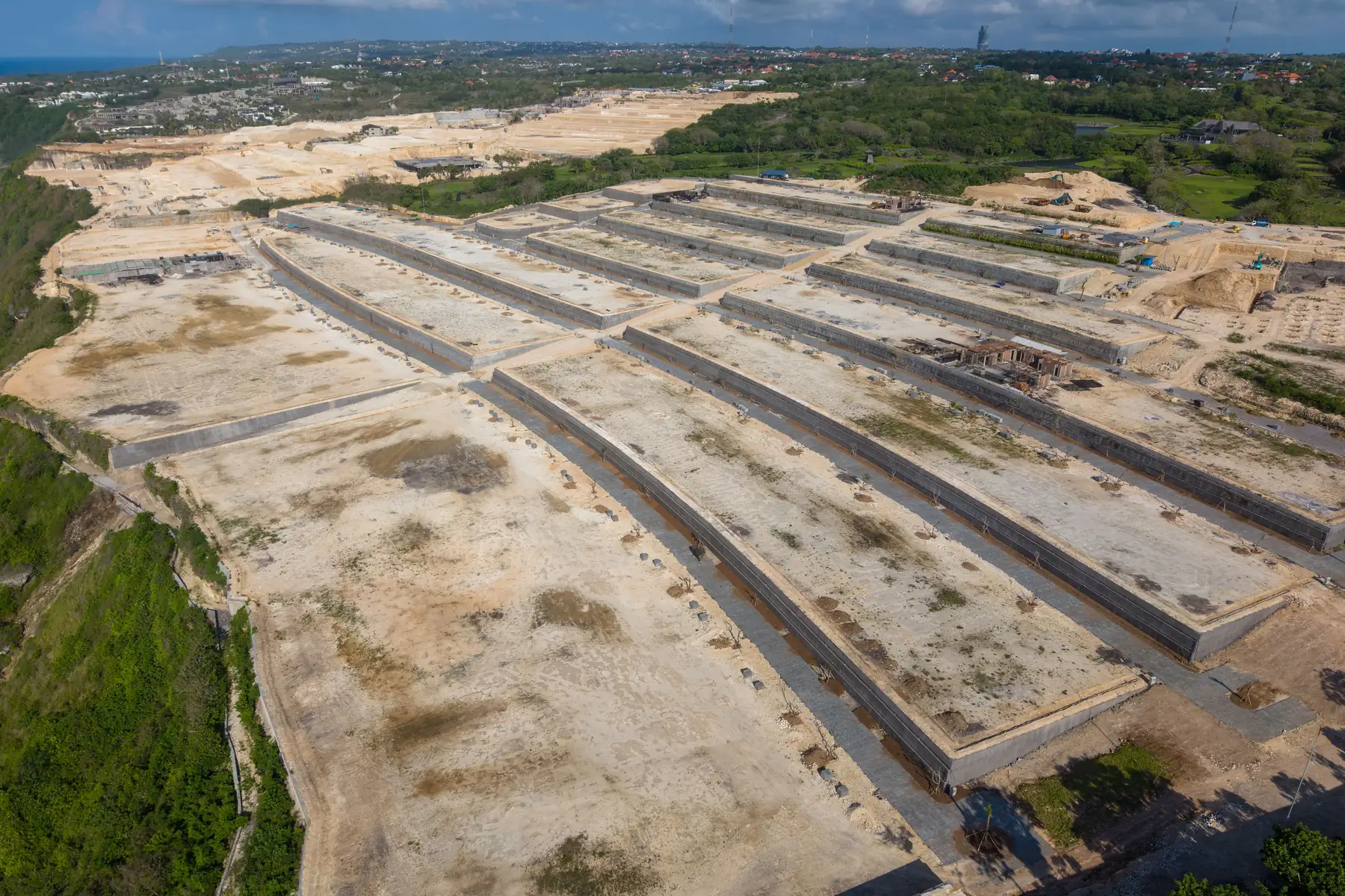

Across projects
What the work looks like across projects.
The work spans corporate multi site searches, rail served land inland, port adjacent and coastal parcels, and feasibility reads where the buildable footprint is the question. The eight axes hold across all of them.
A filtered set, and a written reason for everything that did not survive.
The shape repeats across industrial engagements. A wide territory narrows to a short set of options that fit the declared operation. Each surviving option carries its regulatory status, its utility verification and its risk score. Each discarded one carries the reason. The client works to their own horizon and internal process, and the verification is already documented by the time the options reach them.
Depth equivalent to a senior corporate site selection study, delivered on the client's timeline and inside the engagement. The same study through a traditional advisory carries a heavy premium and a longer calendar.
What the work produces
On larger scopes the same work continues into phased pre development structuring: a risk matrix with decision gates, a 90 and 180 day work plan, a budgeted catalogue of studies, and a route to capitalization.
Land reviewed against your criteria
FEUDO® Group is a proptech firm that runs site selection for industrial and logistics land in Mexico. The research a senior corporate site selection study performs by hand is systematized here: the same eight axes on every parcel, verified with the office that holds the record, delivered on the client’s timeline and inside the engagement. Land is reviewed against the criteria set at intake, so the dossier carries only the options that fit the operation, and every rejected option carries the reason it was rejected. There is no broker network and no MLS behind it, and no intermediary gets added to a transaction that works without one.

Engagement model
What you're buying.
Five phases. Each stage ends with a go or no go before the client commits to the next one.
Preliminary brief request
Submit corridor, investment range, and timeline. What comes back is a brief with territorial context for that corridor.
Intake call
Define non-negotiables, regulatory constraints, and deal-breakers. We eliminate corridors before we evaluate sites.
Territorial scan
Proprietary methodology. No MLS, no broker network. Direct verification with municipal and state sources.
Private dossier delivery
Investor-grade document. Each option includes documented rationale, discard reasons for rejected sites, and risk scoring.
Due diligence accompaniment
Optional contract extension. We stay in the process through site visits, legal verification, and third-party coordination.
We document the risk profile of each option, so the decision is made against a written record.FEUDO Industrial methodology
FAQ
Questions about buying land for an industrial or logistics project in Mexico.
What does a FEUDO industrial site selection analysis include?
Every parcel is measured on eight axes: land use and environmental regime, registry traceability, multimodal access including rail and coast, utility feasibility, topography and polygon geometry, property regime and time to title, physical risk and restrictions, and dated comparables. The deliverable is a private dossier of filtered options, each with regulatory status, utility verification, workforce profile and risk score. Every option that was rejected comes with the written reason it was rejected.
How is this different from working with a broker?
The engagement pays for the analysis, so the dossier is delivered whether or not a site gets bought. Verification runs directly with whoever holds the record: the state planning registry, the public registry, the utility, the municipality that issues the permit. Options reach the client because they survived the criteria set at intake, and the ones that failed are on the page with the axis that killed them.
Do you work with ejidal land?
Yes, and property regime is scored as its own axis. Ejidal land without dominio pleno carries an assembly and conversion process, and the number that decides it is time to clean title. If that time sits outside your schedule, the dossier says so and states what would have to change for the option to come back.
What do you need from me to start?
The corridor or region under consideration, the investment range, and the timeline you are working against. Non negotiables help most: minimum power at the lot, rail requirement, maneuvering and yard needs, maximum time to title. With those, a preliminary brief with territorial context for that corridor comes back before any engagement starts.
Which regions do you cover?
Baja California (Tijuana, Mexicali, Ensenada), the North Border corridor (Juárez, Monterrey, Saltillo, Laredo), the Pacific Bajío (Guadalajara, Querétaro, San Luis Potosí), and Southeast Mexico (Mérida and the Quintana Roo industrial parks). Coverage is defined by what can be verified in person and with the local authority. If a target corridor falls outside that, we say so before an engagement starts.
How long does it take?
A preliminary brief comes back on request, once corridor, investment range and timeline are received. The territorial scan runs two to four weeks, depending on corridor complexity and how much municipal verification the sites require. The client works to their own horizon and internal process, and the dossier iterates by versions inside that window so the options are read while the decision is still live.
Start here
The next step is a
preliminary brief.
If you need territorial analysis in Mexico, tell us the corridor and the constraint and we'll follow up with a preliminary brief.
Or write directly to [email protected]